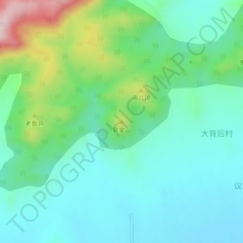
Geolocate

紫金山 topographic map

Interactive map

Click on the map to display elevation.

About this map

Name: 紫金山 topographic map, elevation, terrain.

Location: 紫金山, 威海市, 山东省, 264200, 中国 (37.18879 121.80443 37.18889 121.80453)

Average elevation: 430 ft

Minimum elevation: 148 ft

Maximum elevation: 1,283 ft

Other topographic maps

Click on a map to view its topography, its elevation and its terrain.

威海市

中国 > 山东省 > 威海市

威海市, 环翠区, 威海市, 山东省, 264200, 中国

Average elevation: 82 ft

烟墩角村

中国 > 山东省 > 威海市

烟墩角村, 威海市, 山东省, 264200, 中国

Average elevation: 26 ft

界石镇

中国 > 山东省 > 威海市

界石镇, 威海市, 山东省, 264200, 中国

Average elevation: 262 ft

徐家疃村

中国 > 山东省 > 威海市 > 徐家疃村

徐家疃村, 威海市, 山东省, 264200, 中国

Average elevation: 164 ft

松顶

中国 > 山东省 > 威海市

松顶, 威海市, 环翠区, 威海市, 山东省, 264200, 中国

Average elevation: 318 ft