
楊小坑 topographic map
Interactive map
Click on the map to display elevation.
About this map
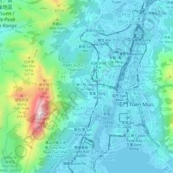
Name: 楊小坑 topographic map, elevation, terrain.
Location: 楊小坑, 青山村, 屯門區, 新界, 香港, 中国 (22.37482 113.94476 22.41482 113.98476)
Average elevation: 341 ft
Minimum elevation: -20 ft
Maximum elevation: 1,808 ft
Other topographic maps
Click on a map to view its topography, its elevation and its terrain.