
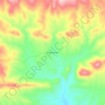
Ouled Laalem topographic map
Interactive map
Click on the map to display elevation.
About this map
Name: Ouled Laalem topographic map, elevation, terrain.
Location: Ouled Laalem, Taguedit, Daïra Bordj Oukhris, Bouira, Algérie (35.99331 3.86425 36.03331 3.90425)
Average elevation: 3,192 ft
Minimum elevation: 2,759 ft
Maximum elevation: 3,684 ft