
阳城县 topographic map
Interactive map
Click on the map to display elevation.
About this map
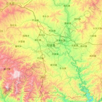
Name: 阳城县 topographic map, elevation, terrain.
Location: 阳城县, Jincheng, Shanxi, China (35.21373 112.01434 35.68434 112.63585)
Average elevation: 2,854 ft
Minimum elevation: 633 ft
Maximum elevation: 6,270 ft
Other topographic maps
Click on a map to view its topography, its elevation and its terrain.