Teniet Es Sebt topographic map
Interactive map
Click on the map to display elevation.
About this map
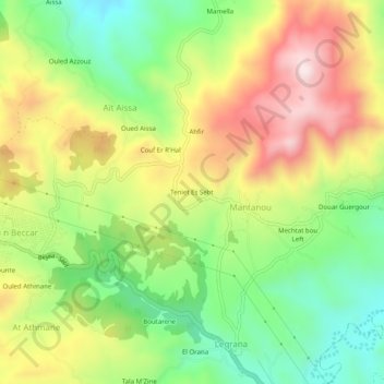
Name: Teniet Es Sebt topographic map, elevation, terrain.
Average elevation: 2,890 ft
Minimum elevation: 2,116 ft
Maximum elevation: 3,835 ft

Click on the map to display elevation.
Name: Teniet Es Sebt topographic map, elevation, terrain.
Average elevation: 2,890 ft
Minimum elevation: 2,116 ft
Maximum elevation: 3,835 ft