
La Cañada topographic map
Interactive map
Click on the map to display elevation.
About this map
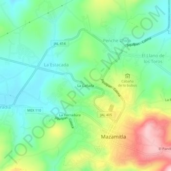
Name: La Cañada topographic map, elevation, terrain.
Location: La Cañada, Mazamitla, Jalisco, 49540, México (19.90832 -103.04691 19.94832 -103.00691)
Average elevation: 7,133 ft
Minimum elevation: 6,821 ft
Maximum elevation: 7,746 ft