
Cressy topographic map
Interactive map
Click on the map to display elevation.
About this map
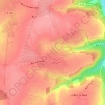
Name: Cressy topographic map, elevation, terrain.
Average elevation: 469 ft
Minimum elevation: 210 ft
Maximum elevation: 535 ft
Son altitude varie entre 80 et 150 mètres.
Other topographic maps
Click on a map to view its topography, its elevation and its terrain.
Auffay
France > Normandie > Seine-Maritime > Val-de-Scie
Auffay, Val-de-Scie, Dieppe, Seine-Maritime, Normandie, France métropolitaine, 76720, France
Average elevation: 446 ft