
San Isabel National Forest topographic map
Interactive map
Click on the map to display elevation.
About this map
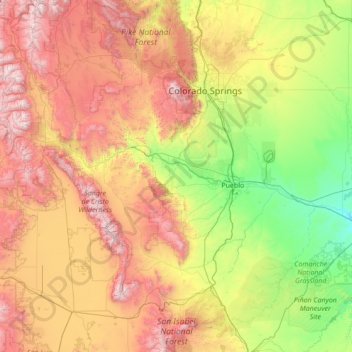
Name: San Isabel National Forest topographic map, elevation, terrain.
Average elevation: 7,349 ft
Minimum elevation: 4,144 ft
Maximum elevation: 14,288 ft