
Bensenville topographic map
Interactive map
Click on the map to display elevation.
About this map
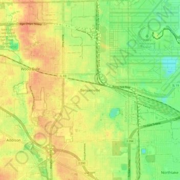
Name: Bensenville topographic map, elevation, terrain.
Location: Bensenville, DuPage County, Illinois, 60106, USA (41.91384 -87.98318 41.99384 -87.90318)
Average elevation: 676 ft
Minimum elevation: 607 ft
Maximum elevation: 728 ft