
Glacier des Follâts topographic map
Interactive map
Click on the map to display elevation.
About this map
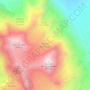
Name: Glacier des Follâts topographic map, elevation, terrain.
Average elevation: 10,331 ft
Minimum elevation: 8,317 ft
Maximum elevation: 12,159 ft