
Shahapur topographic map
Interactive map
Click on the map to display elevation.
About this map
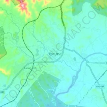
Name: Shahapur topographic map, elevation, terrain.
Location: Shahapur, Thane, Maharashtra, 421601, India (19.41171 73.28531 19.49171 73.36531)
Average elevation: 240 ft
Minimum elevation: 79 ft
Maximum elevation: 1,066 ft