
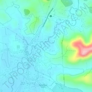
Thanikkudam topographic map
Interactive map
Click on the map to display elevation.
About this map
Name: Thanikkudam topographic map, elevation, terrain.
Location: Thanikkudam, Thrissur, Kerala, 680028, India (10.56648 76.25263 10.58515 76.27981)
Average elevation: 128 ft
Minimum elevation: 26 ft
Maximum elevation: 610 ft