
Thorrington topographic map
Interactive map
Click on the map to display elevation.
About this map
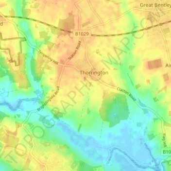
Name: Thorrington topographic map, elevation, terrain.
Location: Thorrington, Tendring, Essex, England, United Kingdom (51.81788 1.01151 51.85738 1.06466)
Average elevation: 59 ft
Minimum elevation: -7 ft
Maximum elevation: 105 ft