
Lac Nzilo topographic map
Interactive map
Click on the map to display elevation.
About this map
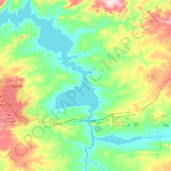
Name: Lac Nzilo topographic map, elevation, terrain.
Location: Lac Nzilo, Mamfwe, Lwalaba, Lualaba, RD Congo (-10.91889 25.46239 -10.45518 25.87760)
Average elevation: 4,472 ft
Minimum elevation: 4,137 ft
Maximum elevation: 5,279 ft