
Kali Sindh topographic map
Interactive map
Click on the map to display elevation.
About this map
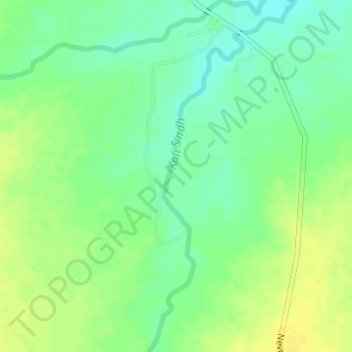
Name: Kali Sindh topographic map, elevation, terrain.
Location: Kali Sindh, Dewas, Madhya Pradesh, 455001, India (22.66834 76.31892 22.69622 76.33142)
Average elevation: 1,768 ft
Minimum elevation: 1,729 ft
Maximum elevation: 1,804 ft
Other topographic maps
Click on a map to view its topography, its elevation and its terrain.
Dewas
India > Madhya Pradesh > Dewas
Dewas, Dewas Tahsil, Dewas, Madhya Pradesh, 455001, India
Average elevation: 1,732 ft