
Chabola del Forestal topographic map
Interactive map
Click on the map to display elevation.
About this map
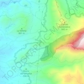
Name: Chabola del Forestal topographic map, elevation, terrain.
Average elevation: 2,116 ft
Minimum elevation: 1,542 ft
Maximum elevation: 3,632 ft
Other topographic maps
Click on a map to view its topography, its elevation and its terrain.
El Rincón Bello
España > Comunidad Valenciana > Petrer
El Rincón Bello, Petrer, El Vinalopó Medio, Alicante, Comunidad Valenciana, España
Average elevation: 2,293 ft