
Col de Portet d'Aspet topographic map
Interactive map
Click on the map to display elevation.
About this map
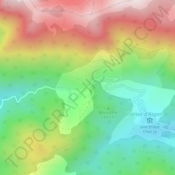
Name: Col de Portet d'Aspet topographic map, elevation, terrain.
Average elevation: 3,766 ft
Minimum elevation: 2,720 ft
Maximum elevation: 5,141 ft