
Hărțăgani topographic map
Interactive map
Click on the map to display elevation.
About this map
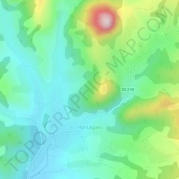
Name: Hărțăgani topographic map, elevation, terrain.
Location: Hărțăgani, Hunedoara, 337051, Romania (46.04201 22.90850 46.06456 22.94659)
Average elevation: 1,293 ft
Minimum elevation: 958 ft
Maximum elevation: 2,192 ft