
Soumariyyeh topographic map
Interactive map
Click on the map to display elevation.
About this map
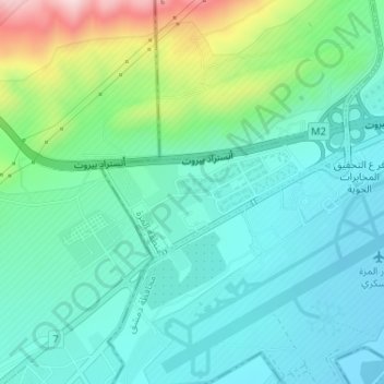
Name: Soumariyyeh topographic map, elevation, terrain.
Location: Soumariyyeh, Al Mazzah, Damascus Governorate, Syria (33.47898 36.20513 33.48831 36.22611)
Average elevation: 2,579 ft
Minimum elevation: 2,329 ft
Maximum elevation: 3,356 ft