
Desa Sungai Bertam topographic map
Interactive map
Click on the map to display elevation.
About this map
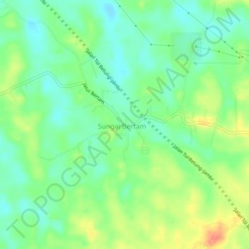
Name: Desa Sungai Bertam topographic map, elevation, terrain.
Location: Desa Sungai Bertam, Jambi Luar Kota, Jambi, Indonesia (-1.72243 103.51208 -1.68243 103.55208)
Average elevation: 131 ft
Minimum elevation: 72 ft
Maximum elevation: 223 ft