
Aïn Trab topographic map
Interactive map
Click on the map to display elevation.
About this map
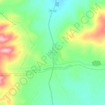
Name: Aïn Trab topographic map, elevation, terrain.
Location: Aïn Trab, Oued Zenati, Daïra Oued Zenati, Guelma, Algérie (36.20855 7.11632 36.24855 7.15632)
Average elevation: 2,710 ft
Minimum elevation: 2,477 ft
Maximum elevation: 3,114 ft