
Castresana topographic map
Interactive map
Click on the map to display elevation.
About this map
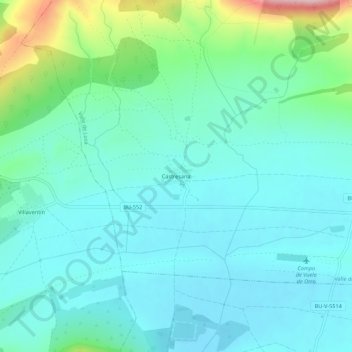
Name: Castresana topographic map, elevation, terrain.
Location: Castresana, Valle de Losa, Burgos, Castilla y León, España (43.00622 -3.35229 43.04622 -3.31229)
Average elevation: 2,402 ft
Minimum elevation: 2,234 ft
Maximum elevation: 3,061 ft