
Al Qara topographic map
Interactive map
Click on the map to display elevation.
About this map
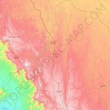
Name: Al Qara topographic map, elevation, terrain.
Location: Al Qara, Al Bahah Region, Saudi Arabia (20.12789 41.21136 20.82938 41.45605)
Average elevation: 4,964 ft
Minimum elevation: 686 ft
Maximum elevation: 8,310 ft