Geolocate

Tumbaco topographic map

Click on the map to display elevation.

About this map
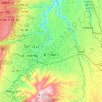
Name: Tumbaco topographic map, elevation, terrain.

Location: Tumbaco, Quito Canton, Pichincha, Ecuador (-0.27227 -78.43507 -0.14270 -78.36093)

Average elevation: 8,199 ft

Minimum elevation: 6,827 ft

Maximum elevation: 10,446 ft

Other topographic maps

Click on a map to view its topography, its elevation and its terrain.
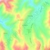
Nayón

Ecuador > Pichincha > Quito Canton

Average elevation: 8,520 ft

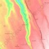
San Martin

Ecuador > Pichincha > Quito Canton > Nono

Average elevation: 9,163 ft

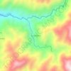
Santa Rosa

Ecuador > Pichincha > Quito Canton > Puembo

Average elevation: 7,900 ft

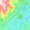
Barrio Nuevo

Ecuador > Pichincha > Quito Canton > Nanegal

Average elevation: 5,230 ft

2 Puentes

Ecuador > Pichincha > Quito Canton > Quito

Average elevation: 9,751 ft

Gear up for your next adventure:

📚Navigation Handbooks - Master the art of reading topographic maps and using a compass
🍳Camping Cook Set - Complete cookware for outdoor meals
🔥Plasma Lighters - Windproof lighters that work in any weather condition
🏫Relief Map Kits - Hands-on tools for teaching landforms and elevation
🚗GPS Dash Cams - Record your scenic drives through mountain passes and canyons

As an Amazon Associate, this site earns from qualifying purchases at no extra cost to you.