
Saint-Jean-en-Royans topographic map
Interactive map
Click on the map to display elevation.
About this map
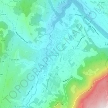
Name: Saint-Jean-en-Royans topographic map, elevation, terrain.
Average elevation: 1,184 ft
Minimum elevation: 653 ft
Maximum elevation: 3,202 ft
Dictionnaire topographique du département de la Drôme.