
Felipe Neri topographic map
Interactive map
Click on the map to display elevation.
About this map
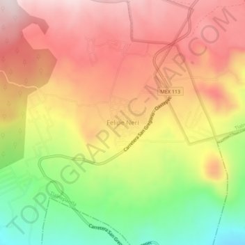
Name: Felipe Neri topographic map, elevation, terrain.
Location: Felipe Neri, Tlalnepantla, Morelos, México (19.01911 -98.96318 19.05911 -98.92318)
Average elevation: 8,255 ft
Minimum elevation: 7,300 ft
Maximum elevation: 8,993 ft