
Shahbad topographic map
Interactive map
Click on the map to display elevation.
About this map
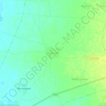
Name: Shahbad topographic map, elevation, terrain.
Location: Shahbad, Tijara Tehsil, Alwar, Rajasthan, 301411, India (27.90393 76.78752 27.94393 76.82752)
Average elevation: 925 ft
Minimum elevation: 899 ft
Maximum elevation: 951 ft