
South Haven topographic map
Interactive map
Click on the map to display elevation.
About this map
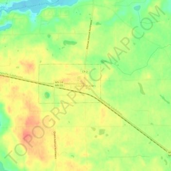
Name: South Haven topographic map, elevation, terrain.
Location: South Haven, Wright County, Minnesota, 55382, United States (45.27228 -94.23207 45.31228 -94.19207)
Average elevation: 1,086 ft
Minimum elevation: 997 ft
Maximum elevation: 1,152 ft