
Plau am See topographic map
Interactive map
Click on the map to display elevation.
About this map
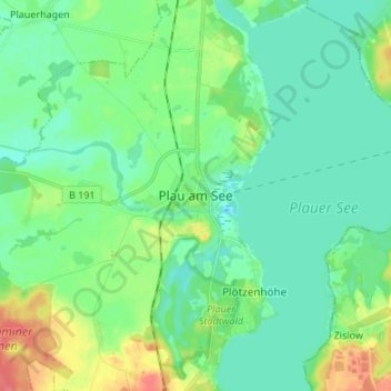
Name: Plau am See topographic map, elevation, terrain.
Average elevation: 233 ft
Minimum elevation: 184 ft
Maximum elevation: 358 ft
Weitere Wohnplätze innerhalb des Stadtgebiets sind Appelburg (Silbermühle), Heidenholz, Plötzenhöhe und Seelust. Zum Ortsteil Karow zählen Teerofen und Hütte.