
Ward topographic map
Interactive map
Click on the map to display elevation.
About this map
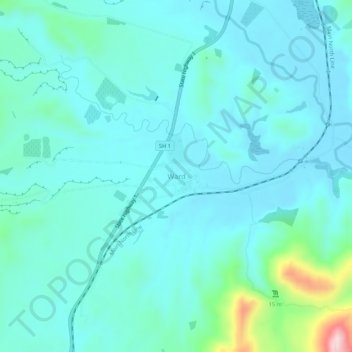
Name: Ward topographic map, elevation, terrain.
Location: Ward, Marlborough, 7248, New Zealand (-41.84642 174.11799 -41.80642 174.15799)
Average elevation: 200 ft
Minimum elevation: 43 ft
Maximum elevation: 1,102 ft