
儒林镇 topographic map
Interactive map
Click on the map to display elevation.
About this map
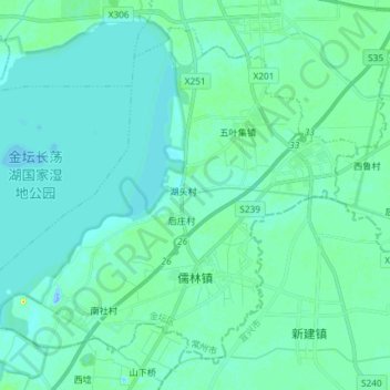
Name: 儒林镇 topographic map, elevation, terrain.
Location: 儒林镇, 金坛区, 常州市, 江苏省, 213200, 中国 (31.56021 119.52899 31.66842 119.67617)
Average elevation: 20 ft
Minimum elevation: -69 ft
Maximum elevation: 105 ft