
四方顶子 topographic map
Interactive map
Click on the map to display elevation.
About this map
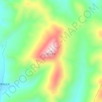
Name: 四方顶子 topographic map, elevation, terrain.
Location: 四方顶子, 舒兰市, 吉林市, 吉林省, 中国 (44.10249 127.33995 44.10259 127.34005)
Average elevation: 2,014 ft
Minimum elevation: 1,549 ft
Maximum elevation: 2,779 ft
Other topographic maps
Click on a map to view its topography, its elevation and its terrain.