
Groß-Gerau topographic map
Interactive map
Click on the map to display elevation.
About this map
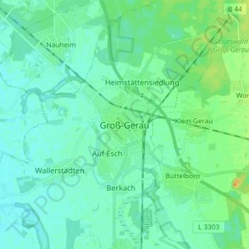
Name: Groß-Gerau topographic map, elevation, terrain.
Location: Groß-Gerau, Kreis Groß-Gerau, Hessen, 64521, Duitsland (49.87945 8.44524 49.95945 8.52524)
Average elevation: 295 ft
Minimum elevation: 272 ft
Maximum elevation: 374 ft