
通渭县 topographic map
Interactive map
Click on the map to display elevation.
About this map
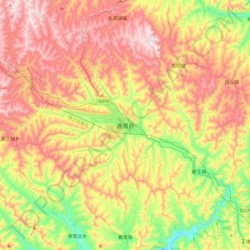
Name: 通渭县 topographic map, elevation, terrain.
Location: 通渭县, 平襄镇, 通渭县, 定西市, 甘肃省, 中国 (35.04667 105.08396 35.36667 105.40396)
Average elevation: 6,388 ft
Minimum elevation: 5,141 ft
Maximum elevation: 7,703 ft