
Wolf Creek Mountain topographic map
Interactive map
Click on the map to display elevation.
About this map
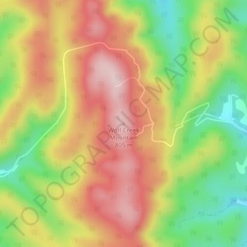
Name: Wolf Creek Mountain topographic map, elevation, terrain.
Average elevation: 2,198 ft
Minimum elevation: 1,686 ft
Maximum elevation: 2,651 ft
Other topographic maps
Click on a map to view its topography, its elevation and its terrain.
Peterstown
United States > West Virginia > Monroe County
Peterstown, Monroe County, West Virginia, 24963, United States
Average elevation: 1,775 ft
Lindside
United States > West Virginia > Monroe County
Lindside, Monroe County, West Virginia, United States
Average elevation: 2,139 ft