
Moravia topographic map
Interactive map
Click on the map to display elevation.
About this map
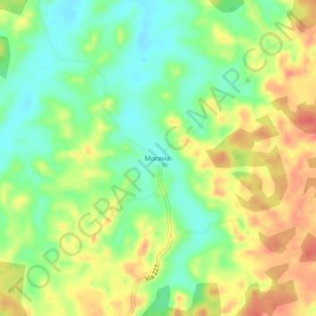
Name: Moravia topographic map, elevation, terrain.
Location: Moravia, Cantón San Carlos, Provincia Alajuela, Costa Rica (10.76117 -84.40103 10.80117 -84.36103)
Average elevation: 203 ft
Minimum elevation: 98 ft
Maximum elevation: 322 ft