
Ключи topographic map
Interactive map
Click on the map to display elevation.
About this map
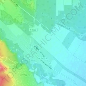
Name: Ключи topographic map, elevation, terrain.
Average elevation: 266 ft
Minimum elevation: 207 ft
Maximum elevation: 486 ft
Other topographic maps
Click on a map to view its topography, its elevation and its terrain.
Ioujno-Sakhalinsk
Russie > Oblast de Sakhaline > городской округ Южно-Сахалинск > Ioujno-Sakhalinsk
Ioujno-Sakhalinsk, городской округ Южно-Сахалинск, Oblast de Sakhaline, District fédéral extrême-oriental, Russie
Average elevation: 669 ft