
Karlsberg topographic map
Interactive map
Click on the map to display elevation.
About this map
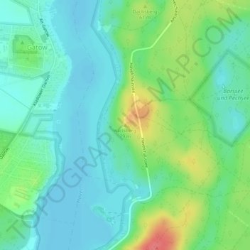
Name: Karlsberg topographic map, elevation, terrain.
Location: Karlsberg, Berlijn, 13595, Duitsland (52.47716 13.19571 52.47726 13.19581)
Average elevation: 151 ft
Minimum elevation: 89 ft
Maximum elevation: 302 ft
Other topographic maps
Click on a map to view its topography, its elevation and its terrain.