
Lilong topographic map
Interactive map
Click on the map to display elevation.
About this map
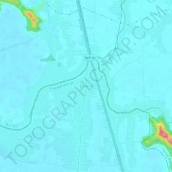
Name: Lilong topographic map, elevation, terrain.
Location: Lilong, Thoubal, Manipur, 795130, India (24.69389 93.91986 24.73389 93.95986)
Average elevation: 2,552 ft
Minimum elevation: 2,523 ft
Maximum elevation: 2,890 ft