
Montbrun-les-Bains topographic map
Interactive map
Click on the map to display elevation.
About this map
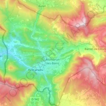
Name: Montbrun-les-Bains topographic map, elevation, terrain.
Average elevation: 2,933 ft
Minimum elevation: 1,667 ft
Maximum elevation: 4,685 ft