
Hester topographic map
Interactive map
Click on the map to display elevation.
About this map
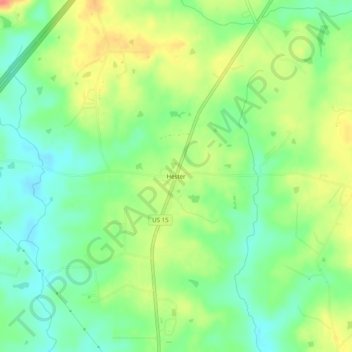
Name: Hester topographic map, elevation, terrain.
Location: Hester, Granville County, North Carolina, United States (36.15015 -78.69250 36.19015 -78.65250)
Average elevation: 364 ft
Minimum elevation: 279 ft
Maximum elevation: 482 ft