
La Lucha topographic map
Interactive map
Click on the map to display elevation.
About this map
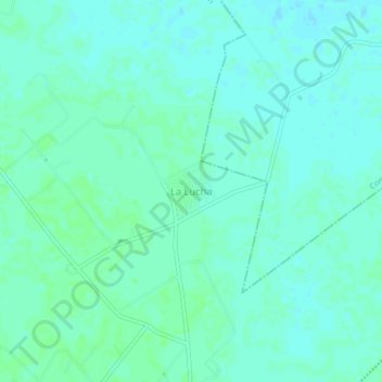
Name: La Lucha topographic map, elevation, terrain.
Location: La Lucha, Cunduacán, Tabasco, México (18.16124 -93.34133 18.20124 -93.30133)
Average elevation: 36 ft
Minimum elevation: 23 ft
Maximum elevation: 46 ft
Other topographic maps
Click on a map to view its topography, its elevation and its terrain.