
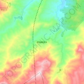
啊喇彝族乡 topographic map
Interactive map
Click on the map to display elevation.
About this map
Name: 啊喇彝族乡 topographic map, elevation, terrain.
Location: 啊喇彝族乡, 攀枝花市, 四川省, 中国 (26.23692 101.65530 26.31692 101.73530)
Average elevation: 6,129 ft
Minimum elevation: 4,787 ft
Maximum elevation: 7,933 ft
Other topographic maps
Click on a map to view its topography, its elevation and its terrain.