
Bois de Tihange topographic map
Interactive map
Click on the map to display elevation.
About this map
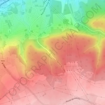
Name: Bois de Tihange topographic map, elevation, terrain.
Location: Bois de Tihange, Tihange, Huy, Liège, Wallonie, 4500, Belgique (50.50599 5.26852 50.52599 5.28852)
Average elevation: 614 ft
Minimum elevation: 240 ft
Maximum elevation: 840 ft