
油麻 topographic map
Interactive map
Click on the map to display elevation.
About this map
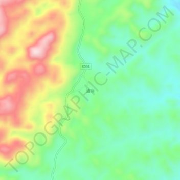
Name: 油麻 topographic map, elevation, terrain.
Location: 油麻, 花垣县, 湘西土家族苗族自治州, 湖南省, 中国 (28.20165 109.36461 28.24165 109.40461)
Average elevation: 2,769 ft
Minimum elevation: 2,303 ft
Maximum elevation: 3,524 ft
Other topographic maps
Click on a map to view its topography, its elevation and its terrain.