
Goldberg topographic map
Interactive map
Click on the map to display elevation.
About this map
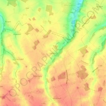
Name: Goldberg topographic map, elevation, terrain.
Location: Goldberg, Schiedlberg, Bezirk Steyr-Land, 4521, Österreich (48.08309 14.29081 48.12309 14.33081)
Average elevation: 1,220 ft
Minimum elevation: 1,089 ft
Maximum elevation: 1,283 ft