
Mandi topographic map
Interactive map
Click on the map to display elevation.
About this map
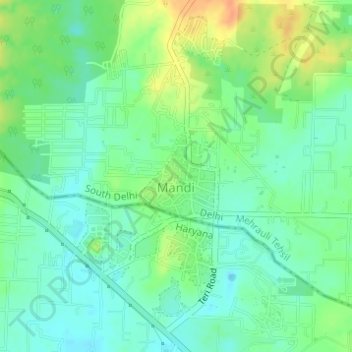
Name: Mandi topographic map, elevation, terrain.
Location: Mandi, Dera, South Delhi, Delhi, India (28.43718 77.14013 28.44395 77.14711)
Average elevation: 840 ft
Minimum elevation: 791 ft
Maximum elevation: 922 ft
Other topographic maps
Click on a map to view its topography, its elevation and its terrain.
Fatehpur Beri
Fatehpur Beri, Dera, South Delhi, Delhi, India
Average elevation: 853 ft