
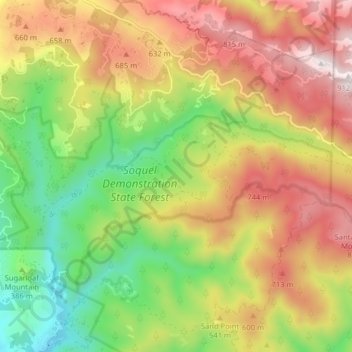
Soquel Demonstration State Forest topographic map
Interactive map
Click on the map to display elevation.
About this map
Name: Soquel Demonstration State Forest topographic map, elevation, terrain.
Average elevation: 1,565 ft
Minimum elevation: 272 ft
Maximum elevation: 2,982 ft