
武夷山国家级风景名胜区 topographic map
Interactive map
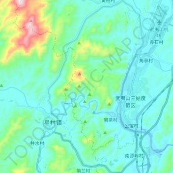
Click on the map to display elevation.
About this map
Name: 武夷山国家级风景名胜区 topographic map, elevation, terrain.
Location: 武夷山国家级风景名胜区, 武夷街道, 武夷山市, 南平市, 福建省, 354300, 中国 (27.60397 117.91772 27.71745 117.98815)
Average elevation: 991 ft
Minimum elevation: 558 ft
Maximum elevation: 3,261 ft
桃源洞有小路通往三仰峰。三仰峰为武夷三十六峰之一,是风景名胜区内的最高峰,海拔717.7米。