
General James Taylor Park topographic map
Interactive map
Click on the map to display elevation.
About this map
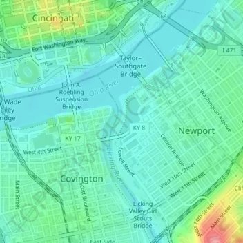
Name: General James Taylor Park topographic map, elevation, terrain.
Average elevation: 518 ft
Minimum elevation: 446 ft
Maximum elevation: 774 ft